

What That Means for Your Insurance
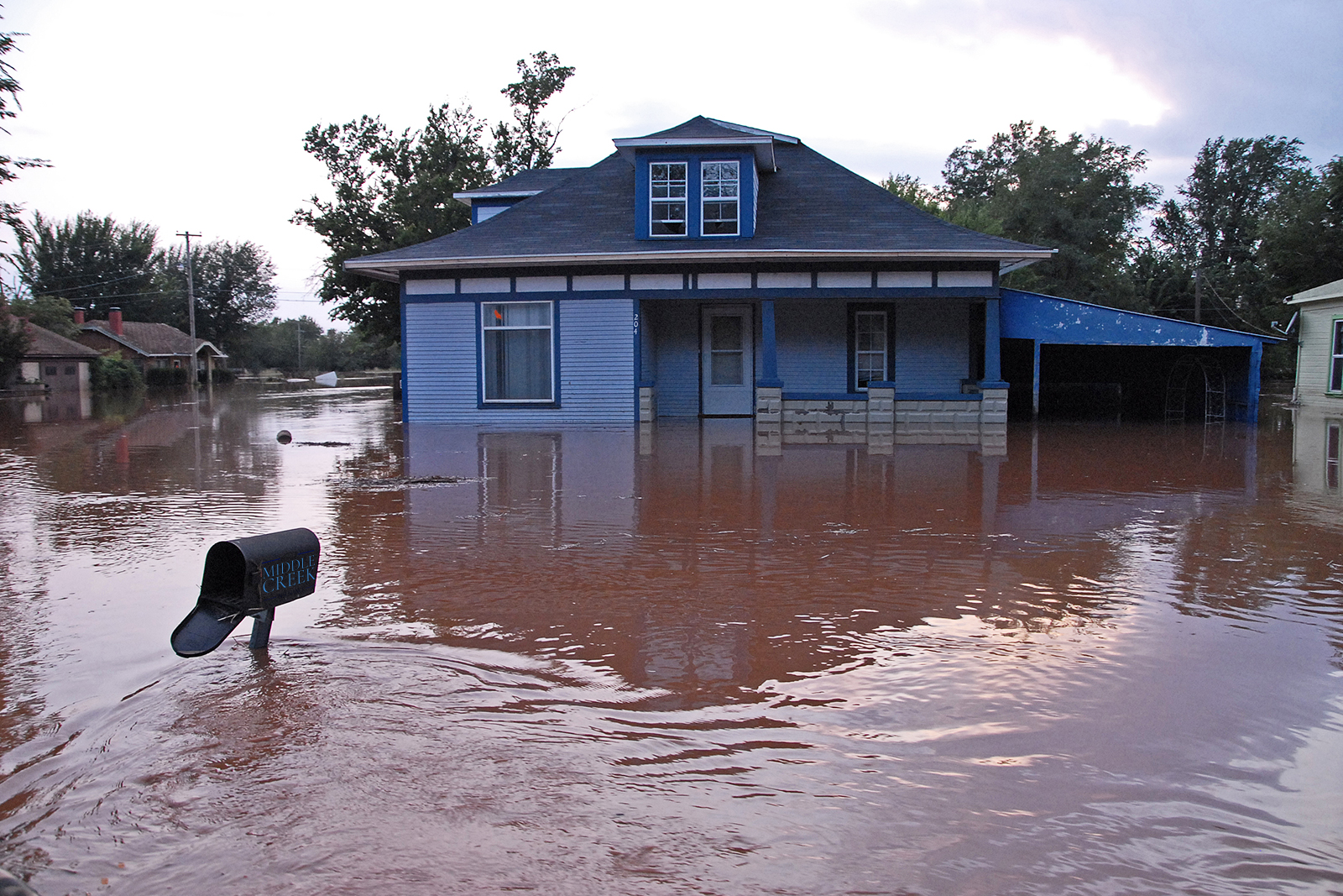
Flooding can happen in surprising places — even areas that don’t look like a traditional floodplain. That’s why knowing where your property falls on the flood maps is one of the most important steps you can take as a property owner — especially when it comes to securing the right coverage.
Thankfully, the Federal Emergency Management Agency (FEMA) provides tools that let you check your address against the current flood hazard data. These maps help insurers, lenders, and homeowners understand flood potential and make informed decisions about coverage. FEMA
🔹 Why Flood Information Matters for Insurance
Standard property policies typically do not cover flood-related damage. If your property is in a higher-risk area, many lenders will require a separate flood policy before approving a mortgage. Even if it isn’t required, getting the right coverage can protect your investment and give you peace of mind. FEMA
Flood maps affect:
- Whether coverage is required
- Your premium levels
- How you plan for long-term protection
Simply put: knowing your flood status can help you avoid costly surprises later.
🔎 How to Find Flood Hazard Information with FEMA Maps
FEMA makes flood hazard data available online in a couple of user-friendly ways. Here’s how to look up your location step-by-step:
1. FEMA Flood Map Service Center — Search by Address
The first tool most people use is the Map Service Center (MSC). This site lets you enter your address and find the official flood map that covers your property.
Steps:
- Go to the FEMA Flood Map Service Center and use the “Search by Address” tool. FEMA Flood Map Service Center
- Enter your full address.
- The system will show you the map panel(s) that cover your location.
- You can view the map online or download a portable version to save or print.
This is usually the simplest option for homeowners and business owners. FEMA Flood Map Service Center
2. National Flood Hazard Layer (NFHL) Viewer
The NFHL Viewer is a dynamic, interactive flood map that overlays flood hazard data on a zoomable map.
Use this when you want:
- A visual confirmation of your location’s flood designation
- More detail than the basic panel view
- Optional overlays and layers that highlight flood hazard areas
Just enter your address, and the viewer will center on your property and show applicable flood zones. ArcGIS
You can also create a custom map extract (often called a FIRMette) that shows your property and its flood designations — useful if your insurer or lender needs a snapshot of your location on the map. marisa.psu.edu
🗺️ Understanding What You See
Flood maps divide land into zones that reflect different levels of flood potential. Some zones indicate higher potential for flooding, while others are moderate or lower potential areas.
Depending on your property’s designation:
- Coverage may be optional or required
- Premiums may be higher in areas with greater potential water risk
Maps also show features such as river floodplains, coastal areas with wave action, and areas with reduced flood hazards. Floodsmart
📌 Tips for Property Owners
✔ Check early: Look up your address before you buy a property or renew a policy
✔ Download the map extract: Many lenders ask for a printable map of your location
✔ Review updates: Flood map data can change over time as new surveys and models are released
✔ Talk to your agent: If your property is near a zone boundary or has changed designation recently, your agent can help explain what it means for your coverage
🛡️ Final Thought
Understanding your flood hazard designation is a critical part of planning for property protection and insurance. By using the FEMA tools available, you can get accurate location-based information that supports better decisions about coverage and risk management.